CMOR Mapping
The best diving and bottom-fishing spots are the ones that aren’t seen on the paper or digital charts and aren’t displayed on commercial fishing maps.
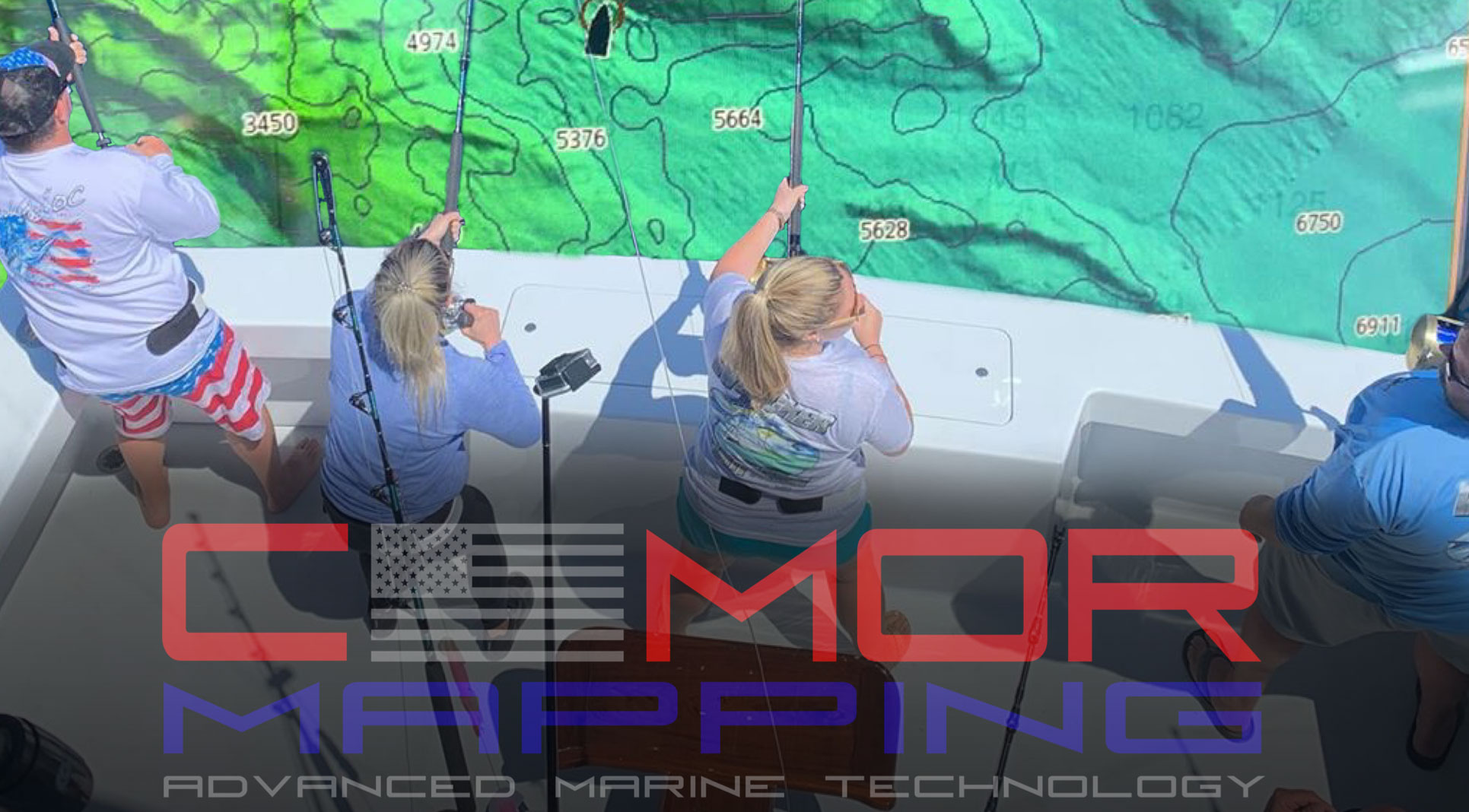
They are the unknown wrecks, the isolated reefs, the ledges hidden between the contour lines — places you spend hundreds of hours on the water and invest thousands of dollars in fuel to find. CMOR Mapping’s chart plotter-compatible bathymetry allows us to find those spots for the first time.
With resolution as high as 1 meter (each pixel represents a single square meter of bottom) and coverage of the entire bottom, you see every bump in remarkable detail. Just as importantly, you see the areas of underwater desert void, where you don’t need to spend your time looking.